


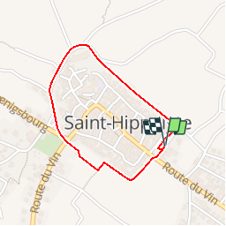

12 km | 17,2 km-effort


Benutzer


Kostenlosegpshiking-Anwendung
 SityTrail
IGN / Geografische Institute
SityTrail World
Die Welt öffnet sich für Sie
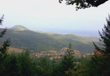
Tour Wandern von 1,5 km verfügbar auf Großer Osten, Oberelsass, Sankt Pilt. Diese Tour wird von tracegps vorgeschlagen.
Une belle rando pour voir un beau petit village du Haut-Rhin et voir de bonne cave. Départ de l'allée des cygnes.


Wandern

Mountainbike

Wandern

Wandern

Wandern

Wandern
Mountainbike

Wandern
Wandern